You typed "hollywood walk of fame location" into Google because you want a straight answer: where exactly is it, and how do you find a specific star without wandering for an hour. Fair enough. This isn’t one plaza with a gate and a ticket booth. It’s a stretch of sidewalk running along Hollywood Boulevard and part of Vine Street, and knowing that changes how you plan your visit.
Here’s the direct answer. The Walk of Fame runs roughly from Gower Street to La Brea Avenue on Hollywood Boulevard, plus a section on Vine between Yucca and Sunset. Below, you’ll get the exact address, a hollywood walk of fame map you can use on your phone, and a simple star locator method so you’re not scanning 2,700 sidewalk plaques by accident.
We lead small group walking tours of Hollywood Boulevard through this exact stretch every week, so we know which blocks get crowded by noon and which corners hide the stars people actually search for. This guide covers the address, the best entry points, parking realities, and how to plot a route that hits your favorite names without doubling back.
Why the exact location matters for your visit
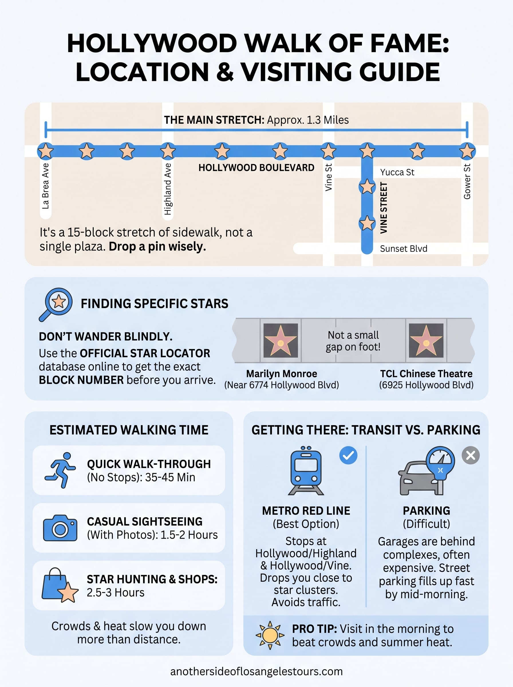
Most visitors assume the Hollywood Walk of Fame, its history and its stars, has one obvious starting point, like a museum entrance with a sign out front. It doesn’t. The stars stretch across roughly 15 blocks of sidewalk, so if you drop a pin at "Hollywood Walk of Fame" and start walking, you might land three blocks from the stars you actually came to see. Knowing the real hollywood walk of fame stars address before you go saves you from backtracking in the heat with tired kids or a rideshare circling the block.
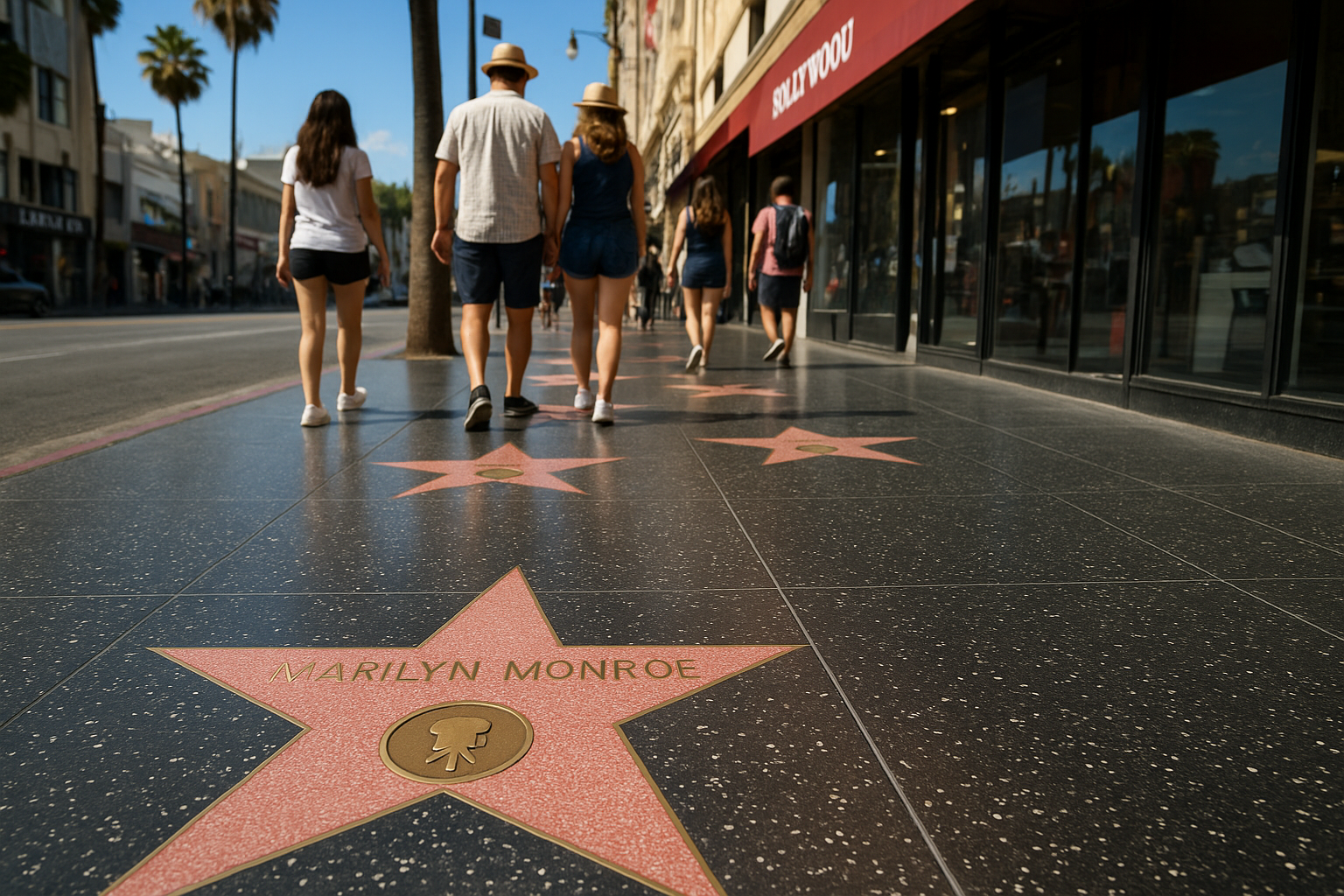
Addresses along the boulevard shift depending on which star you’re chasing. Marilyn Monroe’s star sits near 6774 Hollywood Blvd, while Michael Jackson’s is closer to 6927. That’s not a small gap on foot. Here’s a quick reference for common landmarks people search for:
| Landmark or Star | Approximate Address |
|---|---|
| TCL Chinese Theatre | 6925 Hollywood Blvd |
| Dolby Theatre | 6801 Hollywood Blvd |
| Vine Street stars section | Hollywood Blvd & Vine St |
| Marilyn Monroe’s star | 6774 Hollywood Blvd |
Get the block right, and the whole visit gets easier: less walking, less guessing, more time actually looking down at the sidewalk.
Crowds also shift by block, and that affects how you’ll experience the walk. The section between Highland and Vine gets packed by mid-morning, especially near the TCL Chinese Theatre, while the stretch past La Brea stays quieter and easier to photograph. If your priority is a specific star rather than the busiest tourist strip, picking your entry point matters as much as the address itself.
We route our small group tours to hit the high-value blocks before the tour buses arrive, which is the kind of local timing you can’t get from a map app alone. If you’d rather skip the guesswork entirely, our Hollywood tour options with a local guide build the walk into a guided route with context on the names you’re standing over, not just directions to get there.
How to find a specific star on the map
Searching for one name among 2,700 stars gets frustrating fast if you just wing it. The official hollywood walk of fame star locator, run by the Hollywood Chamber of Commerce, lets you type a celebrity’s name and get the nearest cross street instantly. Bookmark it before your trip and you’ll skip the slow scroll through map apps that weren’t built for this kind of search. Check the official Walk of Fame star database and jot down the block number before you leave your hotel.
Once you’re on the boulevard, orientation gets easier because stars are grouped loosely by theme and era, not scattered at random. Classic film stars cluster closer to Vine Street, while newer additions and music industry names tend to sit further west toward Highland. A paper hollywood star walk of fame map from a visitor kiosk works fine too, especially when your phone signal drops in the crowd near the Chinese Theatre.
Look up the block number before you go. It turns an hour of sidewalk scanning into a five-minute stop.
A few quick habits keep you from wasting time:
- Confirm the exact block number using an official map of Hollywood stars source, not a general search result.
- Walk on the side of the street matching your star’s address, since stars run on both sidewalks.
- Note two or three nearby stars in the same block, so one stop covers several names on your list.
How long it takes to walk the entire route
Walking the full stretch of the Hollywood Walk of Fame from Gower Street to La Brea Avenue covers about 1.3 miles, plus the Vine Street section if you tack it on. At a relaxed pace, most visitors cover that distance in 35 to 45 minutes without stopping. Add in photo stops, star hunting, and a coffee break, and you’re looking at two to three hours for a proper visit.
Your actual time depends heavily on your goal. If you’re chasing a dozen specific names, you’ll move in bursts between clusters and skip the filler blocks entirely. If you’re there to soak in the whole scene, budget the full afternoon.
| Visit Style | Distance Covered | Estimated Time |
|---|---|---|
| Quick walk-through, no stops | 1.3 miles | 35-45 minutes |
| Casual sightseeing with photos | 1.3 miles | 1.5-2 hours |
| Star hunting plus shops and theaters | 1.3-1.8 miles | 2.5-3 hours |
Budget more time than the map suggests. Crowds, not distance, are what actually slow you down.
Heat matters too. Midday sun on that sidewalk gets brutal by July, so morning starts beat afternoon ones if you’re walking the entire route rather than hitting one or two stars and leaving. Bring water regardless of season since shade is scarce along most of the boulevard.
Getting there: parking, transit, and nearby stops
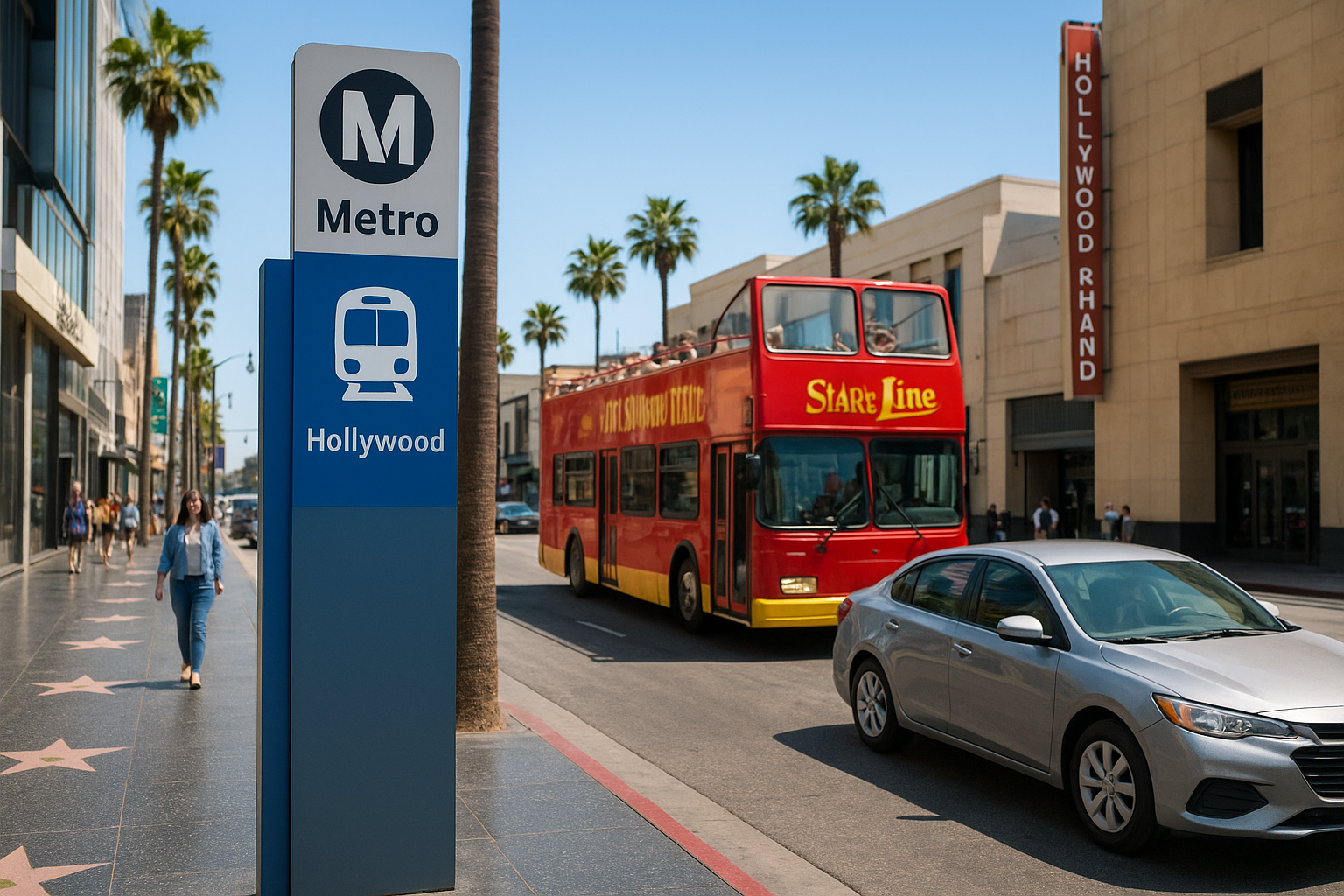
Getting to the Hollywood Walk of Fame is easier by train than by car, and once you’ve circled Hollywood Boulevard looking for a spot, you’ll understand why our directions to Hollywood start with transit. Traffic backs up fast near the Chinese Theatre, and street parking disappears by mid-morning most days.
Parking near the boulevard
Parking garages sit behind the Hollywood & Highland complex and along Ivar Avenue, usually running $10 to $20 for a few hours. Metered street parking exists but fills quickly, especially on weekends when tour groups and event crowds show up early.
Taking the Metro
The Metro Red Line stops right at Hollywood/Highland and Hollywood/Vine, dropping you within a block of the busiest star clusters. It’s the fastest way to skip parking headaches entirely, a one-way fare costs less than most garage rates, and it’s one of the best ways to get around LA without a car. Check current fares and schedules through LA Metro before you head out.
Skip the car if you can. The Metro drops you closer to the stars than most parking garages do.
Nearby stops worth building into your route
- Hollywood/Highland Center for shops, food, and restrooms
- Dolby Theatre entrance for photos
- Egyptian Theatre a few blocks east toward Vine
Our guided routes fold these stops in automatically, so you’re not backtracking once you’ve already walked past them, and there are more things to see near the Hollywood Walk of Fame worth adding.
Planning your walk down Hollywood Boulevard
Getting the Hollywood Walk of Fame location right comes down to a few basics: know the block before you arrive, take the Metro when you can, and give yourself more time than the distance suggests. The stretch between Gower and La Brea holds everything you’re looking for, but only if you skip the guesswork of wandering into it blind.
Zero in on your must-see stars, plot them against the map, and pick an entry point that matches your priorities, whether that’s the Chinese Theatre crowds or the quieter blocks past Highland. Morning visits beat afternoon ones almost every time, especially once summer heat hits the sidewalk.
If you’d rather have someone else handle the timing, routing, and star trivia while you just enjoy the walk, our guides do this stretch daily. Reserve a private Hollywood tour and let us handle the map so you can focus on the stars.